- Sunrise Stat
- Posts
- 🌅 The Woman Who Mapped the Seafloor
🌅 The Woman Who Mapped the Seafloor
Sunrise Stat
March 20, 2026
Granger Collection
Uncover the power of a single statistic: Sign up for Sunrise Stat to find your intellectual clarity.
SOURCE
WHAT TO KNOW
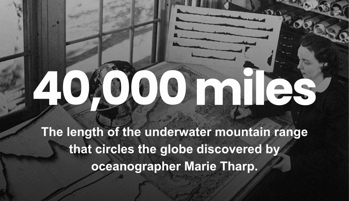
In 1957, oceanographer Marie Tharp and her research partner began publishing the first comprehensive maps of the seafloor, revealing the rugged mountains, valleys, and trenches that define the ocean bottom. Tharp created the maps by recording the depth of the ocean point-by-point using sonar and translating the data into topographical sketches of the seafloor. Her maps revealed the existence of mid-ocean ridges, a 40,000-mile-long network of underwater mountains that crisscross the globe like the lines on a tennis ball, together forming the longest mountain range on Earth.
WHY IT MATTERS
Tharp revolutionized how the world views two-thirds of the planet’s surface. Her maps laid the foundation for later work finding the seafloor spreads from central ridges and the continents move with respect to one another. Her work also helped prove the theory of plate tectonics, the idea that large sections or “plates” of the Earth’s crust move and interact, generating seismic and volcanic activity. Tharp’s legacy can still be felt today in the Seabed 2030 initiative, a massive international project to map the entire ocean floor in precise detail by 2030.
CONNECT THE DOTS
Prior to Tharp’s work, most scientists believed the seafloor was flat and featureless, and many viewed her work with skepticism. In 1959, famed oceanographer Jacques Cousteau plunged a camera to the bottom of the Atlantic, expecting to prove Tharp wrong. Instead, Cousteau returned with footage showing steep slopes, fractured terrain, and towering cliffs of hardened black lava looming up through dark blue water, confirming Tharp was right.